Surf Forecasts and Marine Weather - No Hype - Just the Facts!
The Southern Hemi Awakes! - Video Forecast HERE (4/14/24)
Buoys | Buoy Forecast | Bulletins | Models: Wave - Weather - Surf - Altimetry - Snow | Pacific Forecast | QuikCAST | El Nino | Tutorials | Great Circles | Video

Google

Stormsurf Mobile App

Create Your Own Surf Forecast
Swell Calculator
Swell Decay Tables
Sea Height Tables
Swell Category Table
Convert from GMT:
 
 to timezone:

---
Buoy Location Chart - California

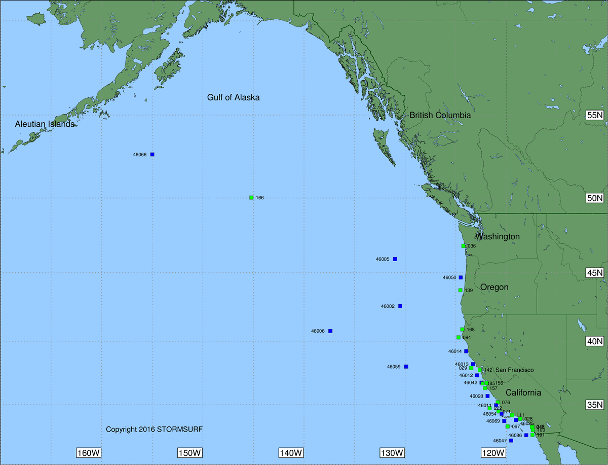
Use this chart to visualize the relative position of buoys relative to your beach. The Great Circle paths coming into your location dictate whether offshore buoys are effective at predicting whether energy hitting that buoy will reach your beach.
Click buoy labels to see latest swell information.

Northeast Gulf of Alaska 46066 166 46005 46002 46006 46059 168 094 46014 46013 029 142 46012 46042 157 185 156 46028 076 46011 222 46047 46086 191 100 048 067 46069 46054 071 111 028 46025 036 46050 139

3122

.
Contact | About | Disclaimer | Privacy
Advertise/Content | Links
Visit Mark Sponsler on Facebook Visit Stormsurf on Instagram Visit Stormsurf on YouTube
Copyright © 2023 STORMSURF - All Rights Reserved
This page cannot be duplicated, reused or framed in another window without express written permission.
But links are always welcome.
Buoys | Buoy Forecast | Bulletins | Models: Wave - Weather - Surf - Altimetry - Snow | Pacific Forecast | QuikCAST | El Nino | Tutorials | Great Circles | Calculator